All rights reserved copyright @ Douglas Graham The images on this site are the property of Douglas Graham and protected under International copyright laws. No copying, duplicating, saving as a digital file, printing, publishing in form of media including web, manipulating, transmitting or reproducing without the prior written permission of Douglas Graham
The Loudoun Rambler
October 31st to November 1st, 2020
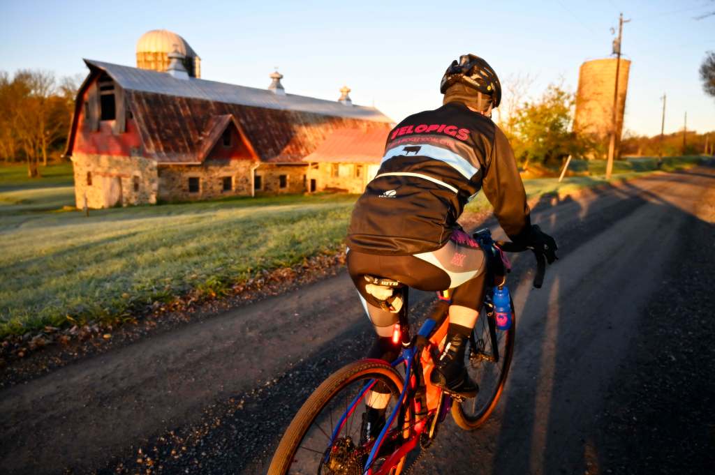
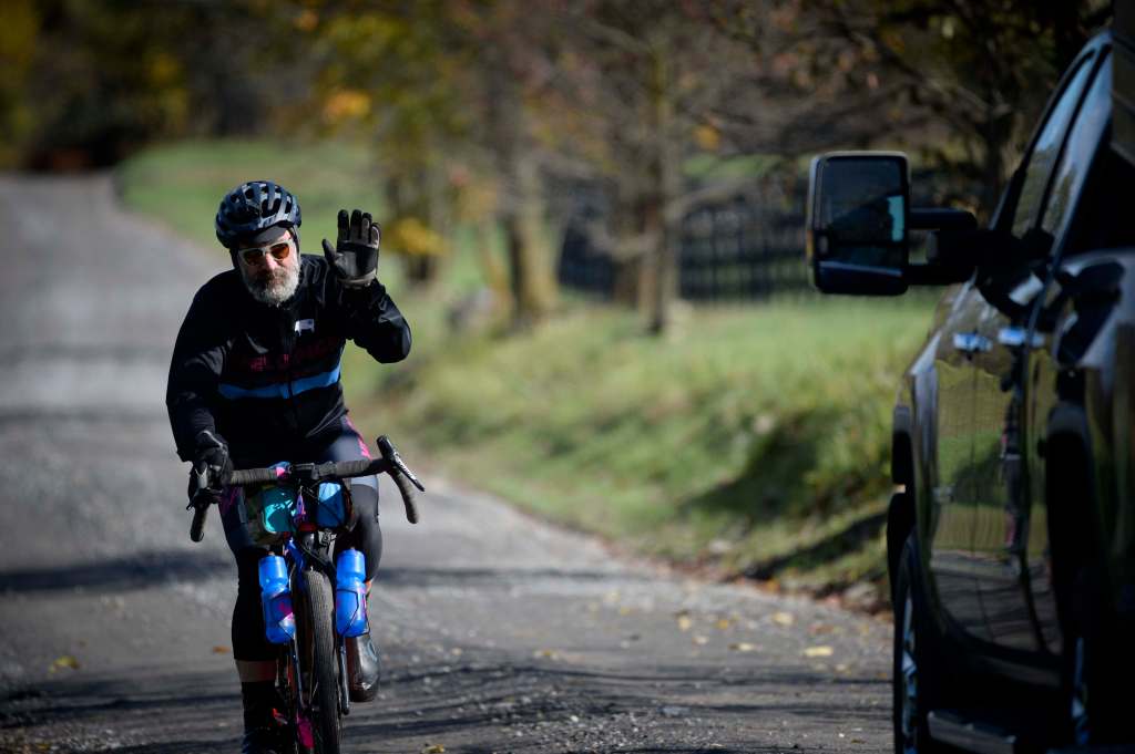
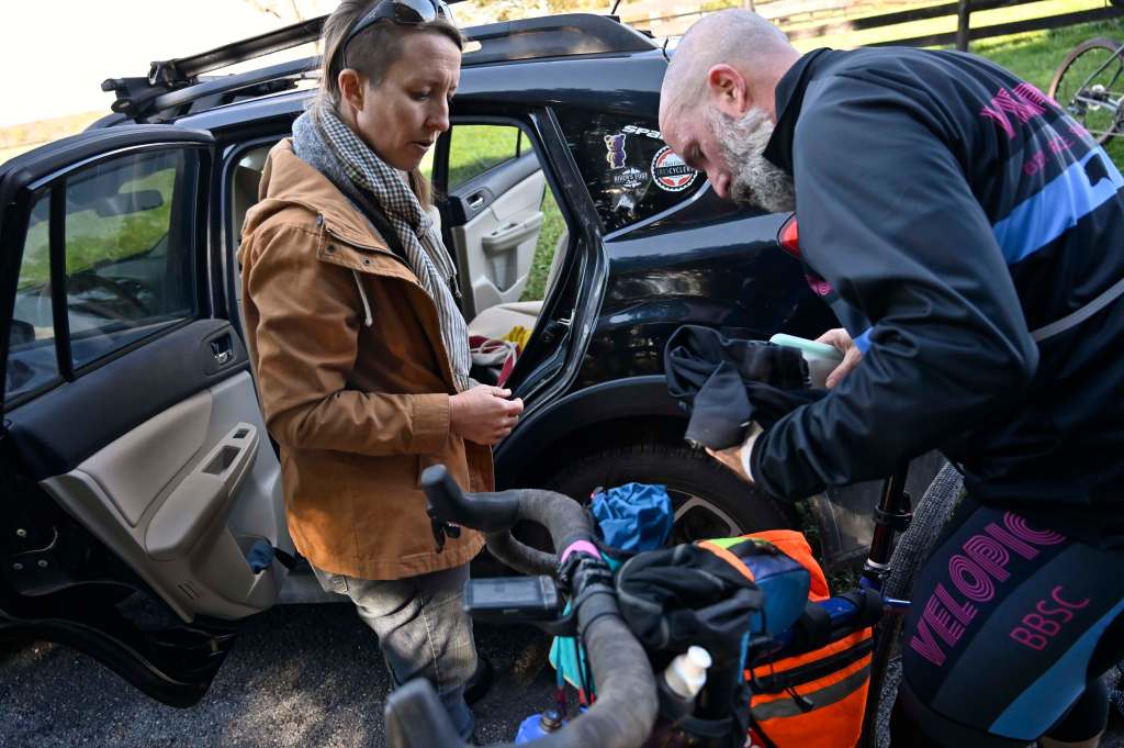
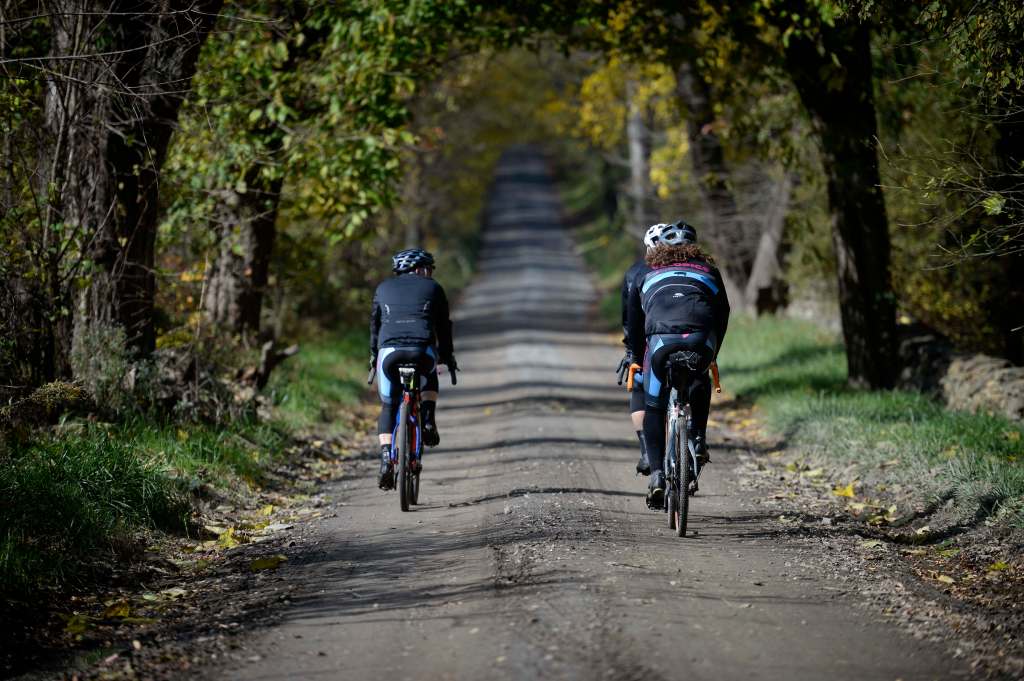
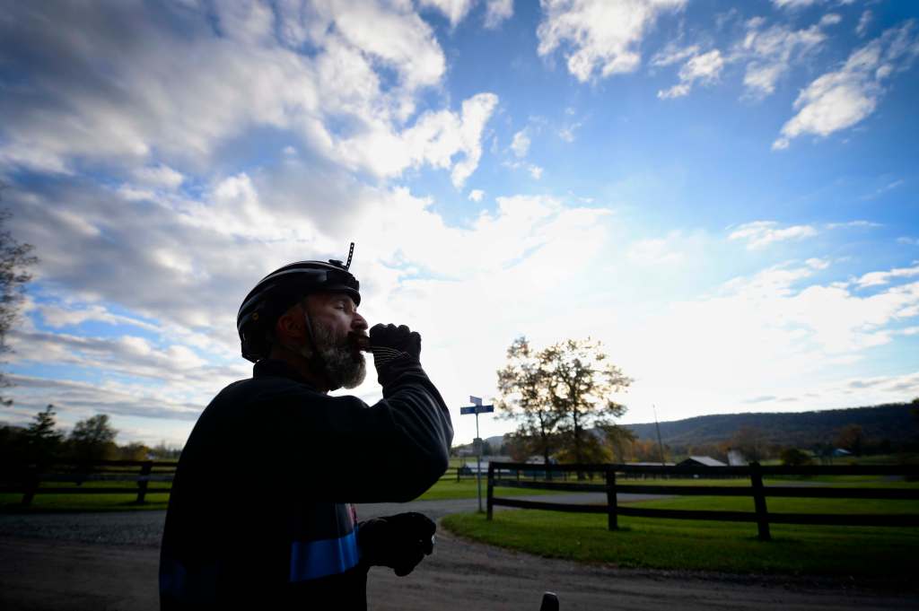
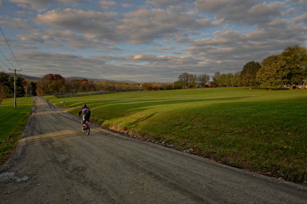
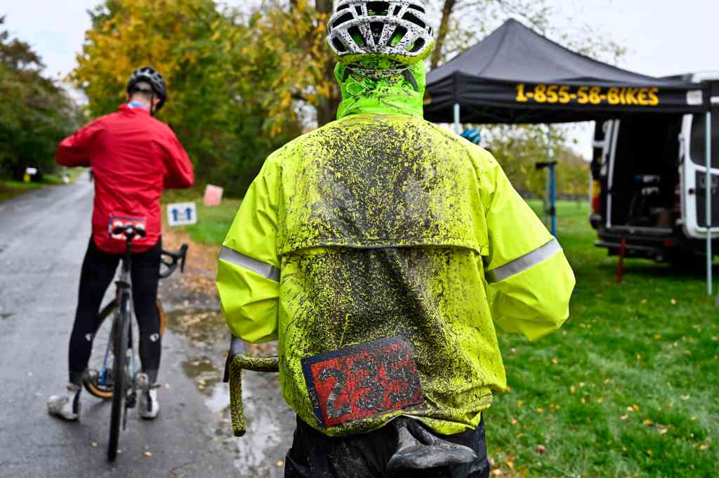
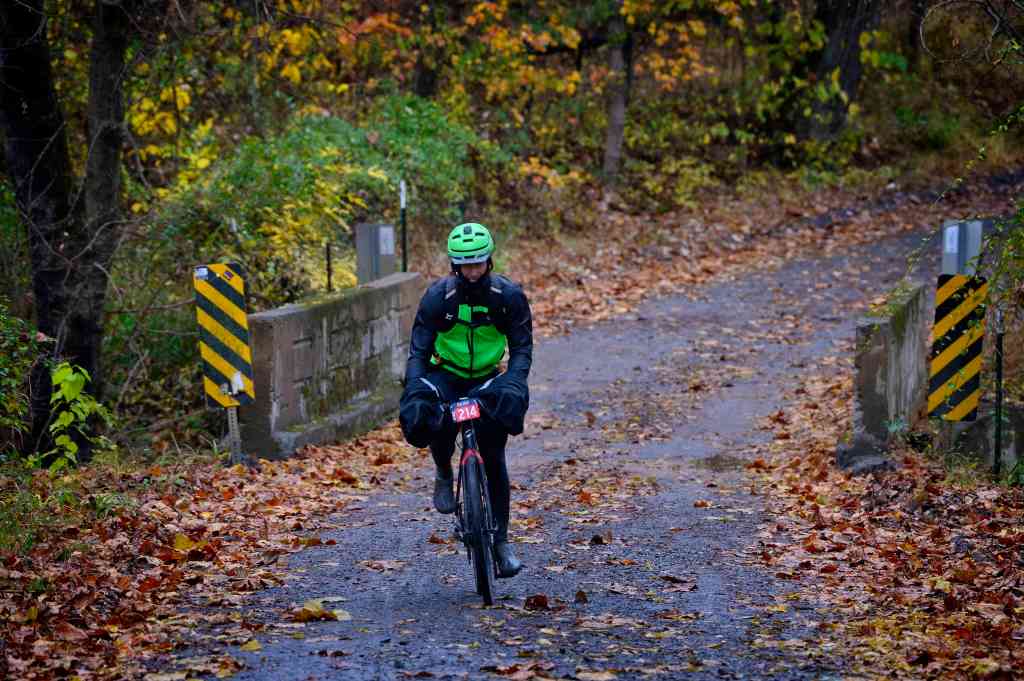
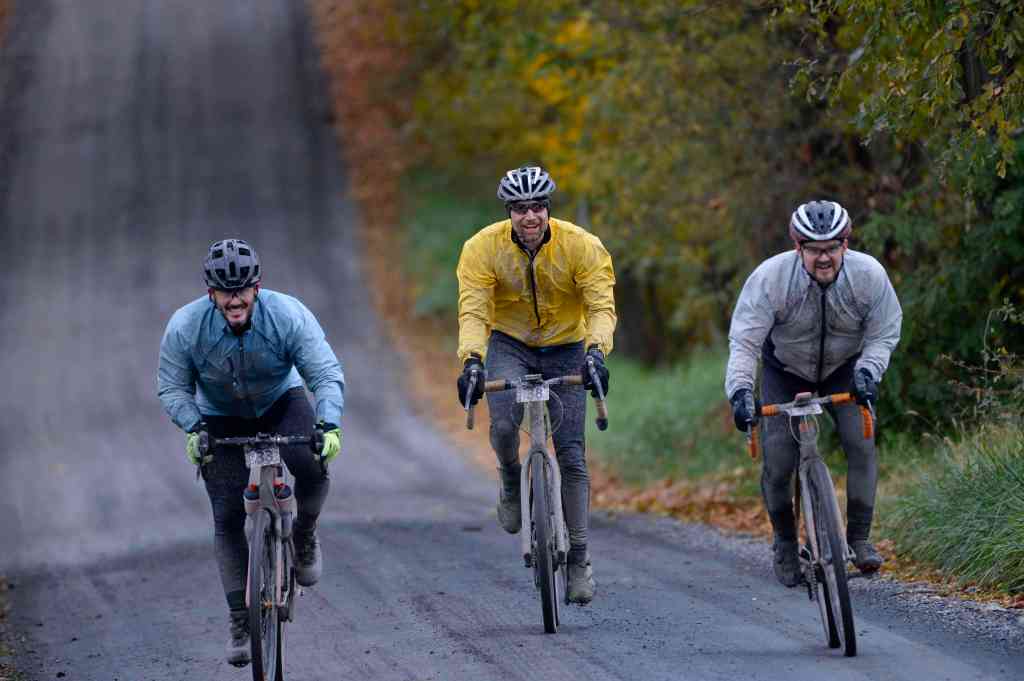
Kasey Clark a local farmer/cyclist did this event to raise money to help America’s Routes save the roads that he loves.
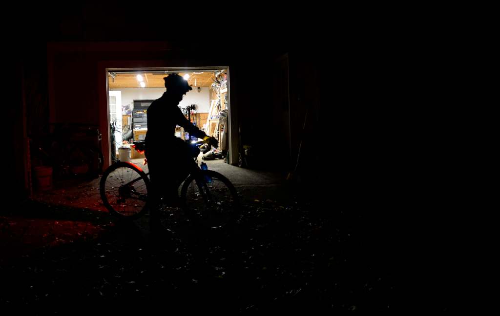
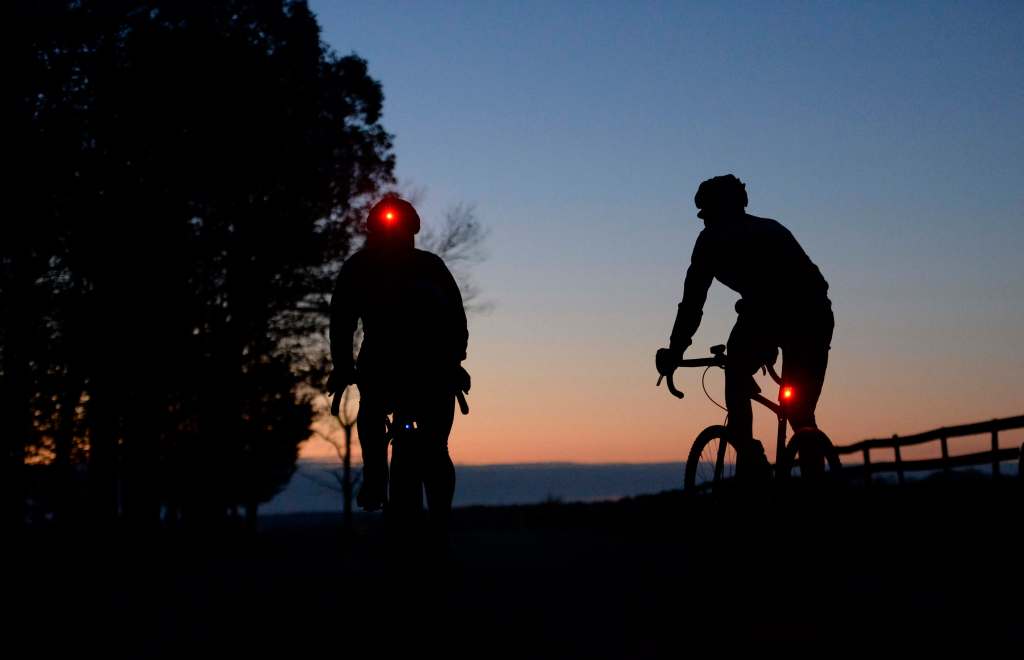
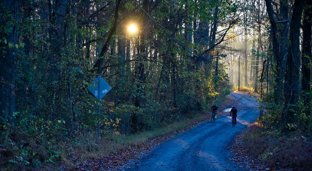
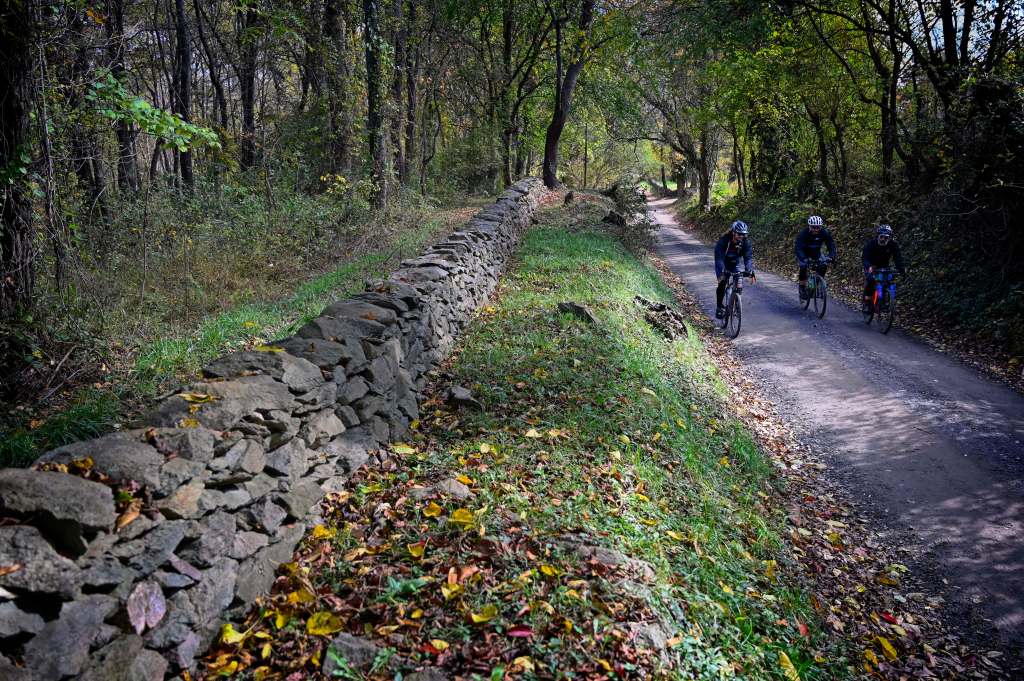
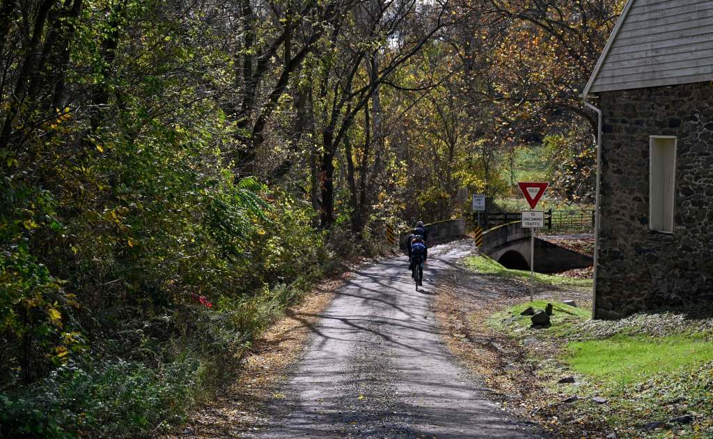
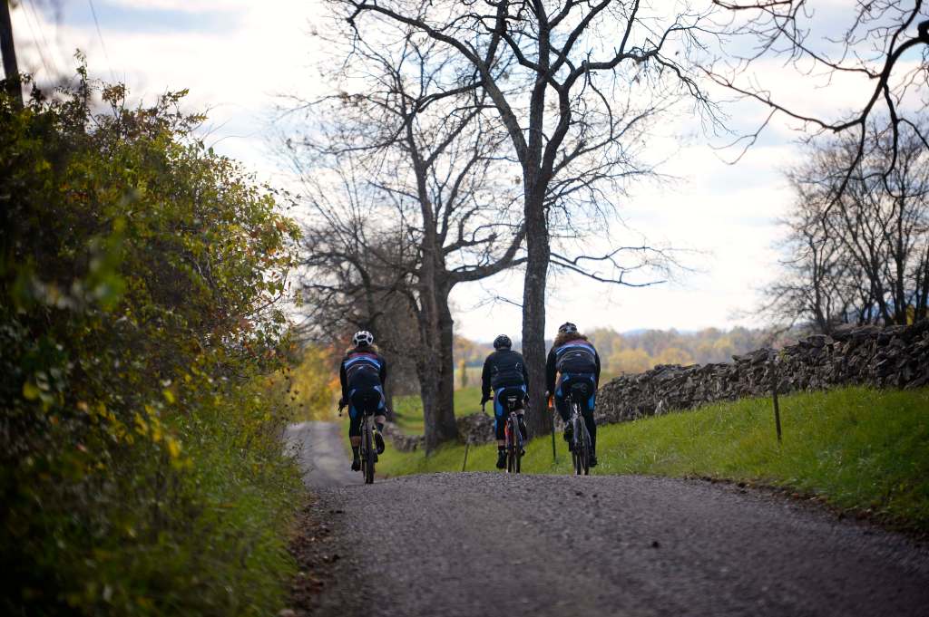
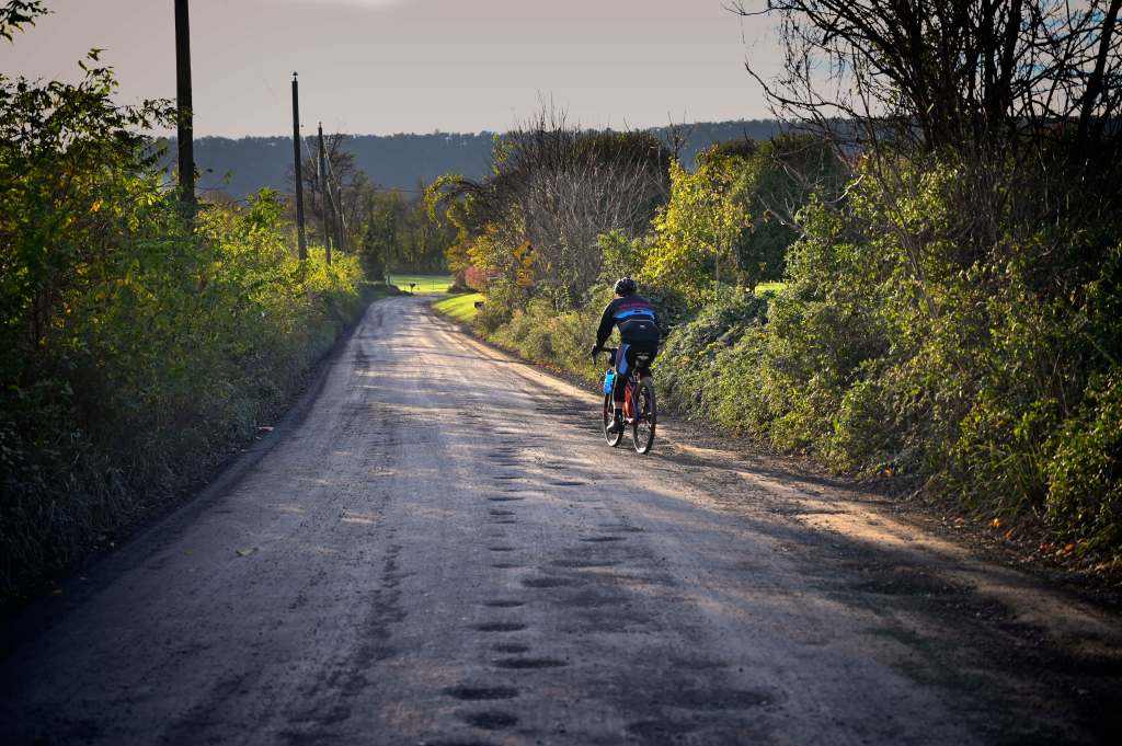
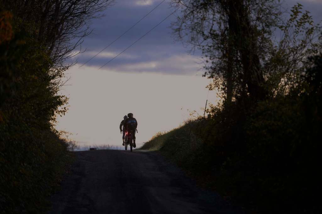
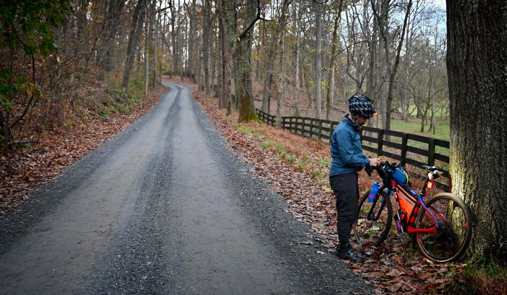
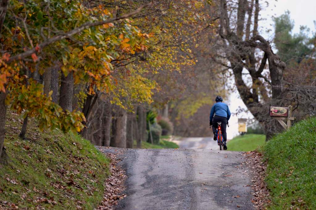
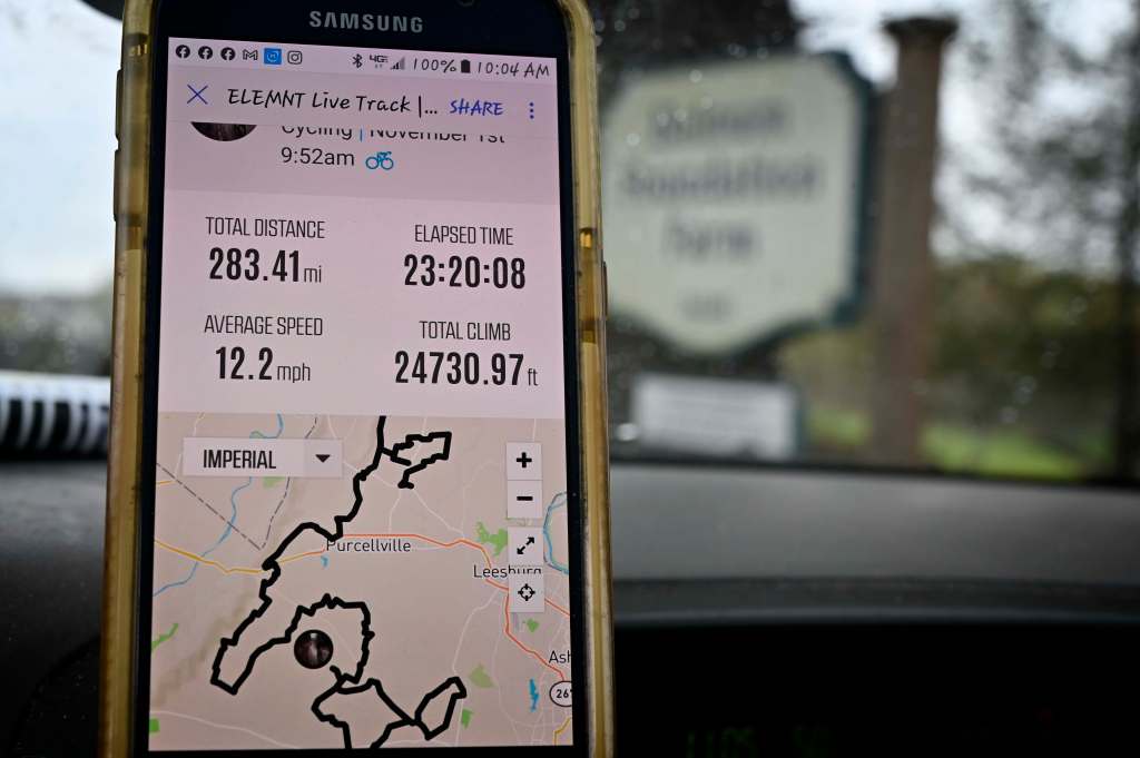
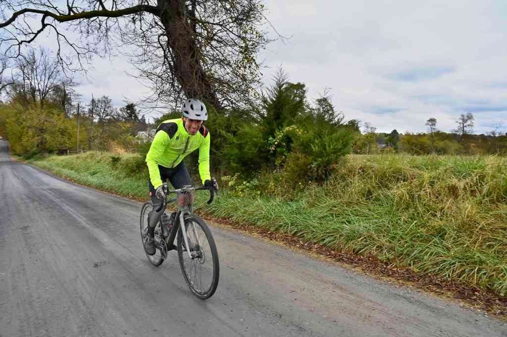
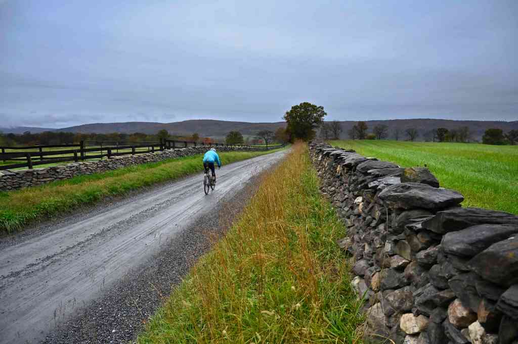
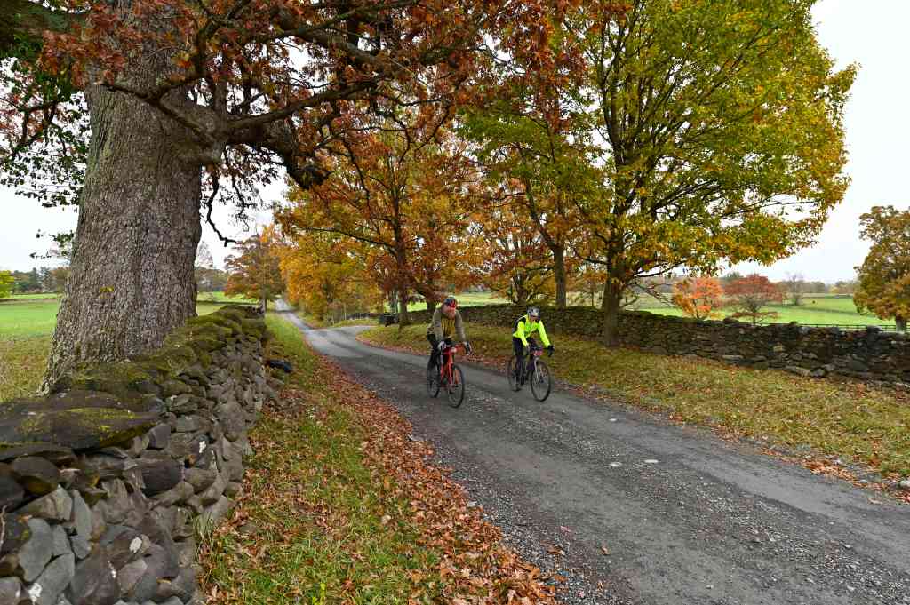
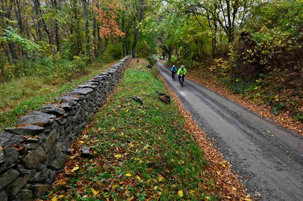
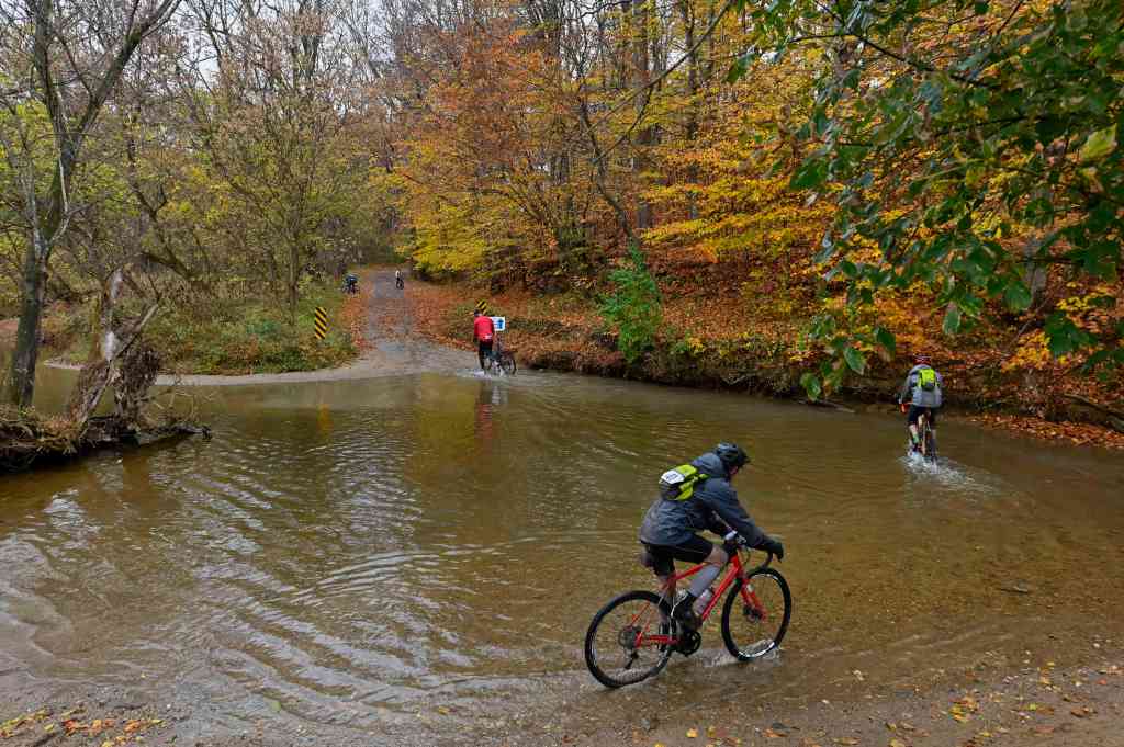
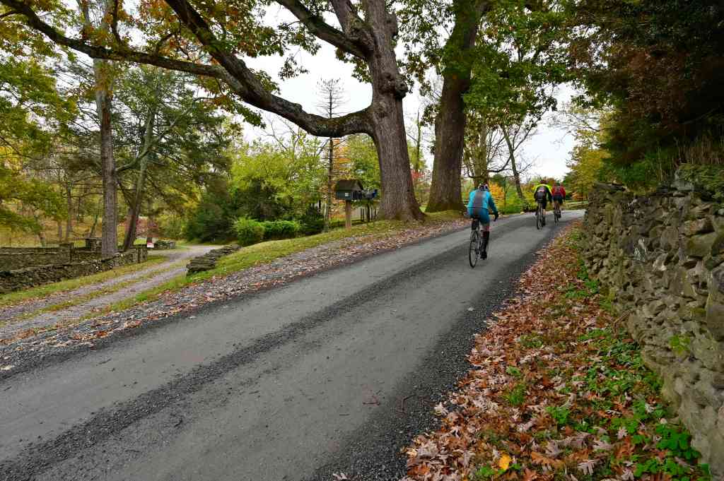
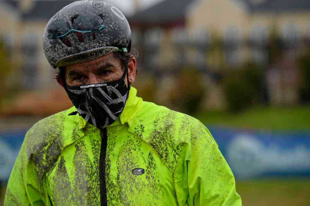
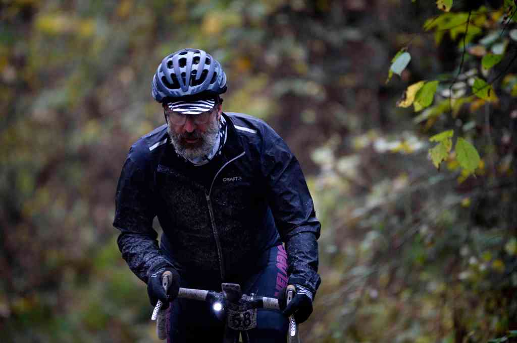
He rode 284.07 miles with a total ride time of 23:21:25 at 12.2 mph pace through Loudoun County, Virginia’s gravel roads in an effort to promote and protect them non-stop in a 24 hour period. His solo ride went through the heart of some of the nation’s oldest and most beautiful rural roads. These unpaved byways hold the stories of pioneers seeking a new life, of terrible wars fought along these roads, of slavery and the struggle for freedom, of the coming of the era of the automobile and now modern commuters living side by side with farmers. The roads also offer some of the best gravel riding in the world, with rolling hills, roadside country stores, and views of vineyards, farms, wildlife, and the Blue Ridge Mountains. Kasey, who lives and works along one of these gravel roads, wants to help.
He serves as Director of Operations at Bainum Foundation Farm, and spends most evenings and weekends navigating rural Loudoun County by bike. He also likes to ride several challenging races each year, including the Rasputitsa Spring Classic in Vermont, but all of them were canceled this year due to the pandemic. My wife and I moved to this area four years ago, and we had no idea just what was in store for us. We’ve ridden bikes across Malawi and Sri Lanka, but have never experienced the kind of riding we get to do right out of our front door in Loudoun County,” Kasey said. “It’s one of the cycling community’s best-kept secrets. We think it’s time to spread the word about this incredible resource and invite others to experience these roads and join the effort in preserving them.”The Loudoun County Rambler has raised almost $7000.00 dollars and will help America’s Routes preserve these roads for cyclists, hikers, equestrians and others to enjoy for years to come.
A special thanks to our title sponsors
Thanks Stephen Keller for rain gear from Pearl iZumi
Thanks to the crew at Maverick Bikes & Cafe for pitching in loaner lights for the ride from Light & Motion and also for a sizable cash donation.
Thanks to Salsa Bicycles for the best gravel bicycles on the planet and also for the box of swag for our events, some of which will be on the America’s Routes donation table at the shop in Leesburg.
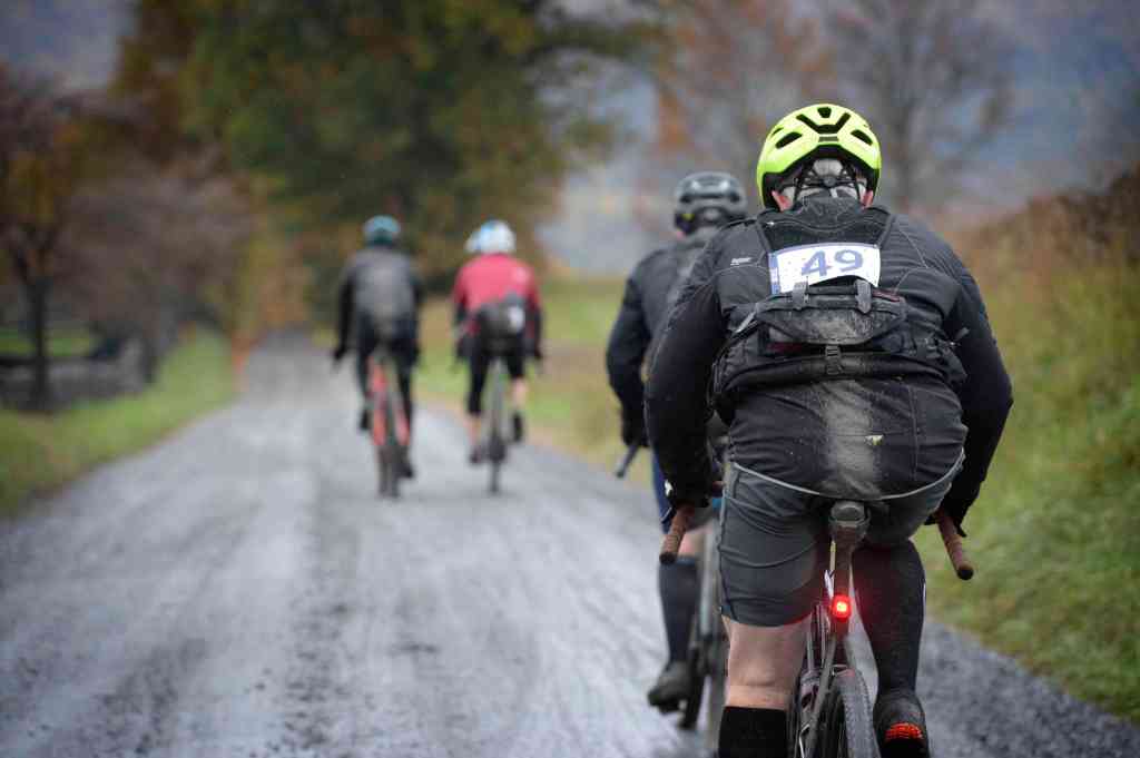
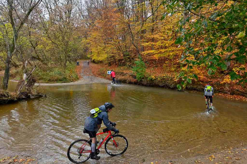
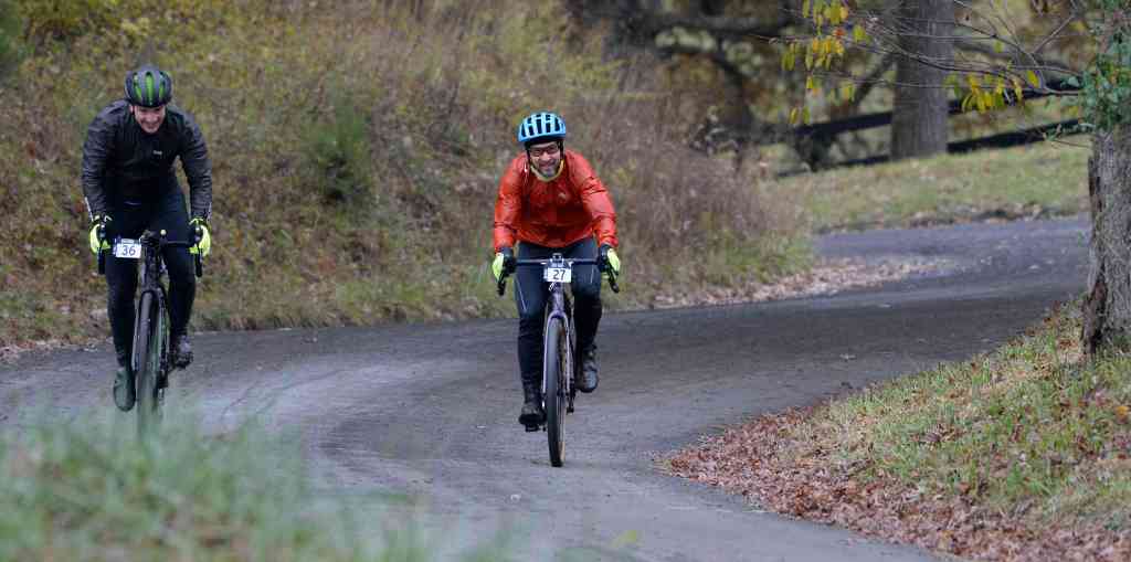
2nd Annual 1725 Gravel Grinder / Oct. 25, 2020
During a snow storm an equestrian makes her way down Foggy Bottom Road near Bloomfield, Virginia. (Photo By Douglas Graham/WLP)
The seasons first winter weather blanketed Beaverdam Bridge Road in snow near the Village of Philomont. (Photo By Douglas Graham/WLP)
UNITED STATES – Nov. 15, 2018: The seasons first winter weather blanketed Beaverdam Bridge in snow near the Village of Philomont. (Photo By Douglas Graham/WLP)
Here is a sample of still photographs of western Loudoun’s historic gravel roads by Doug Graham. The goal of the America’s Routes project is to document the entire network of roads as they exist today.
Click on a photo to learn more about each location and historic information.
Western Loudoun’s historic dirt road known as Furr Road outside of the Village of Bloomfield. (Photo by Douglas Graham/WLP)
Western Loudoun’s historic dirt road known as Millville Road outside of the Village of Bloomfield. (Photo by Douglas Graham/WLP)
Catoctin Creek Bridge was originally located at a crossing of nearby Goose Creek, carrying the Leesburg Turnpike, later Virginia State Route 7, but was relocated in 1932 to its present location at Catoctin Creek. The Catoctin Creek Bridge was placed on the National Register of Historic Places on June 24, 1974. Western Loudoun’s historic dirt road known as Featherbed Lane outside of the Village of Waterford. (Photo by Douglas Graham/WLP)
Paxson Road outside of the Village of Airmont in Western Loudoun County Virginia. Most Western Loudoun’s historic gravel roads predate America and are important heritage resources that represent the migration, settlement and travel patterns of the County’s early populations. (Photo by Douglas Graham/WLP)
Vultures fight over roosting spots on the two chimneys of this old abandoned farmhouse along Old Wheatland Road in Western Loudoun near the village of Waterford. (Photo by Douglas Graham/WLP)
Western Loudoun’s historic dirt road known as Hollow Oak Road outside of the Village of Bluemont. (Photo by Douglas Graham/WLP)
A little day after Christmas horse back ride through downtown Morrisonville. Christiane Meister and her son James had cabin fever and decided to take a little ride during the holiday break in their pajamas. (Photo by Douglas Graham/WLP)
Motorcyclist take a break as they ride some of the hundreds of miles out in Western Loudoun’s historic dirt roads. This is Mountville Road near Unison. (Photo by Douglas Graham/WLP)
Work has started for the paving of Williams Gap road in Western Loudoun that will forever change the character of this historic road. (Photo by Douglas Graham/WLP)
Western Loudoun’s historic dirt road known as Foggy Bottom Road outside of the Village of Bluemont. (Photo by Douglas Graham/WLP)
A cyclist crosses the low water bridge on Beaverdam Bridge Road. The road is closed due to heavy flooding this year to motor vehicles but cyclist and walkers use it almost daily to cross Beaverdam Creek just outside the village of Philomont. (Photo by Douglas Graham/WLP)
The intersection of John Wolford Road and Ash George road in Northern Loudoun County near the village of Waterford. The bridge is on Ash George and the creek is not named but feeds the Catoctin Creek. (Photo by Douglas Graham/WLP)
Old Waterford Road in Northern Loudoun County near the village of Waterford. Many of the dirt roads in Loudoun are important heritage resources that represent the migration, settlement and travel patterns of the County’s early populations. Historic travel routes are also essential components of the County’s historic landscape as it associates with standing structures, linking early settlements. (Photo by Douglas Graham/WLP)
John Wolford Road in Northern Loudoun County near the village of Waterford. (Photo by Douglas Graham/WLP)
Western Loudoun’s historic dirt road known as Jeb Stuart Road outside of the Village of Philomont. (Photo by Douglas Graham/WLP)
This view looking East along Nixon Road just outside of the village of Morrisonville. Nixon Road is the next old gravel road in Loudoun to be paved over. (Photo by Douglas Graham/WLP)
Western Loudoun’s historic dirt road known as Jeb Stuart Road outside of the Village of Philomont. (Photo by Douglas Graham/WLP)
Allen Cochran moves his sheep along Foundry Road to a feeding pasture using his sheep dogs. Western Loudoun’s historic dirt road known as Foundry Road outside of the Quaker settlement of Lincoln is one of many roads in Loudoun County that are historic. The vast network containing 300 miles of dirt roads in Western Loudoun are important heritage resources that represent the migration, settlement and travel patterns of the County’s early populations. (Photo by Douglas Graham/WLP)
Julia Kasdorf walks by her bank barn along John Wolford Road in Northern Loudoun County near the village of Waterford. Many of the dirt roads in Loudoun are important heritage resources that represent the migration, settlement and travel patterns of the County’s early populations. Historic travel routes are also essential components of the County’s historic landscape as it associates with standing structures, linking early settlements. (Photo by Douglas Graham/WLP)
Today, most residents of Loudoun County know nothing about Williams Gap, even those living on Williams Gap Road (Route 711). Knowing who “Williams” was, why a gap in the Blue Ridge Mountains was named for him, and why the rural character of historic Williams Gap Road should be preserved are all significant to our heritage, particularly to those living in Western Loudoun. In the early 1700s, settlers moving west sought farmland along the old Indian trail roads. In 1731, Robert “King” Carter took out a land patent for his 13-year-old son George. In it, the “Indian Thoroughfare” (now Snickersville Turnpike) was described as running from “Williams Cabbin in the Blew Ridge” to the Little River, at now Aldie. The fact that there was a squatter’s cabin at the Gap means that it was there before 1731. In 1743, George Carter owned 2,941 acres as part of the Manor of Leeds “at the lower thoroughfare of the Blue Ridge known by the name of Williams Gap, alias the Indian Thoroughfare of the Blue Ridge, including the same and the top of the ridge.” In 1748, 16-year-old George Washington accompanied George William Fairfax to survey Lord Fairfax’s properties in the Shenandoah Valley. On his return trip in April, he wrote “Tuesday 12th. We set out of from Capt. Hites in order to go over Wms. Gap.” A connecting road from Williams Gap to Leesburg was established in 1764. Known as the Williams Gap Road, it later was called the Leesburg Turnpike. After the Revolutionary War, Edward Snickers’ Shenandoah River ferry was reestablished by the Legislature in October 1786 on “the land of Edward Snickers at Williams Gap.” Later that year Williams Gap became Snickers Gap. (Photo by Douglas Graham/WLP)
Western Loudoun’s historic dirt road known as Millville Road outside of the Village of Bloomfield. (Photo by Douglas Graham/WLP)